Interactive World Maps v2.5
Choose Your Desired Option(s)
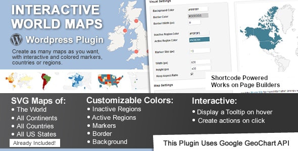
This is a WordPress plugin to create as many maps as you want, with interactive and colored markers, continents, countries or regions.
- As Regions – It will color the whole region, for example a continent, subcontinent, a country, a country province, or a US state.
- As Markers -It will display a colored bubble in the chosen regions, that can be a city, a state or a country.
You can use a shortcode to include the maps in posts, pages and even in sidebar widgets! You can also add the maps to your template, with a simple php function.


